AllWays Traveller Features
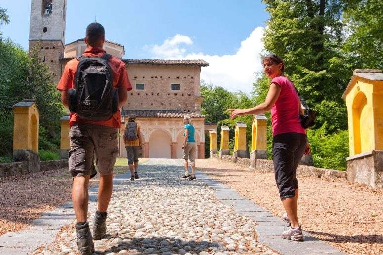
Hiking with public transport in Ticino, Switzerland

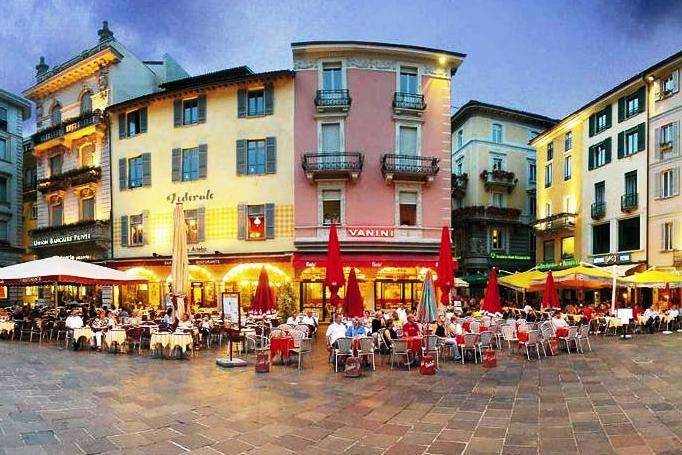
Ticino is Swiss region named after the Ticino river and is the only canton where Italian is the sole official language.
A Mediterranean region is located on the southern side of the Alps and there is a feel of Italy throughout, with palm trees at the beaches and lanes and alleyways leading to piazzas and churches.
The area offers the chance to spend the morning walking at alpine altitudes or through tranquil valleys, and the afternoon relaxing under a palm tree by a lake.
The Ticino Ticket
Even remote areas of Ticino can be discovered by bus, railway and cableway, with the Ticino Ticket offering visitors free use of the canton's public transport network.
The HikeTicino app
Published by Ticino Turismo, this appoffers information on 150 walks and hikes across the canton, which can be searched by theme: architecture, art and culture; nature and mountain huts.
Each walk has a description of the route with its main attractions, photographs, technical details such as its distance, duration and degree of difficulty, an elevation profile and an interactive map.
It displays the latest weather forecast and it's also possible to view images which have been posted on Instagram with the hashtag #hiketicino.
Among the hikes :
The Monte Lema – Monte Tamaro traverse
The traverse between Monte Lema and Monte Tamaro, which is a classic among Switzerland's high-level hikes, follows the ridge close to the Swiss-Italian border.
It starts with the cableway from Miglieglia and offers five hours of scenic views taking in Lake Lugano and Lake Maggiore, both found in the mountains of southern Ticino.
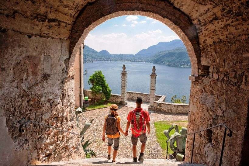
San Salvatore – Morcote
This route takes participants from the summit of Monte San Salvatore through woods of sweet chestnut, past the artists' village of Carona and down to the lake at Morcote – a village crowned Switzerland's prettiest in 2016.
The funicular railway at Lugano-Paradiso is a convenient way of ascending the 912 metres to the summit.
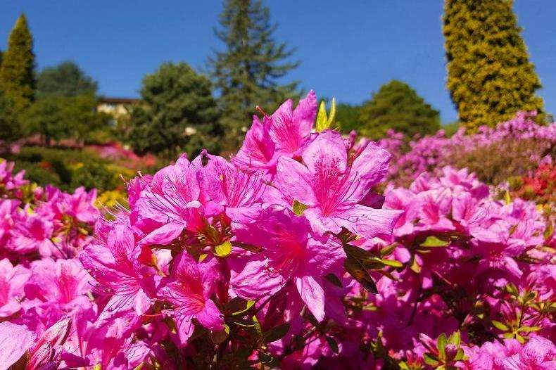
There is also the chance to visit the Parco San Grato botanical gardens, which is home to the Ticino's most extensive collection of azaleas, rhododendrons and conifers.
The path continues through the chestnut woods and finally down one hundred-plus steps to the lake and picturesque Morcote, where onebcan return to Lugano by boat or bus.
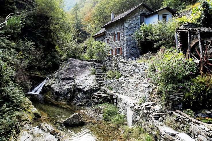
Loco to Intragna on the Via delle Vose
The Via delle Vose follows the tracks of medieval farmers who trod this ancient mule path to reach the harbour in Ascona and the market in Locarno.
The route starts in Loco, in the centre of which is the Onsernone valley museum.
Loco can be reached by PostBus from Intragna and Locarno, and the traditional drystone walls, 16th century lever press and terraced vineyards encountered on the walk testify to the history of the region.
The Centovalli Railway will return you to Locarno.
Ponte Tibetano
This four-hour, family-friendly round tour including the 270-metre "Tibetan" suspension bridge – Switzerland's longest – starts and ends in Monte Carasso,a few kilometres from Bellinzona.
The route takes in vineyards, where theTicino Merlot can be tasted and Curzútt village, which has won the Swiss Wakker Prize for its preserved architectural heritage.
Mountain lakes in the Piora valley
The Ritom-Piora region in the Leventina is reached by a funicular railway, which dates from 1921.
The trip from Piotta village to the summit terminus – an elevation gain of 786 metres – features a gradient of 87.8 percent, making the funicular one of the world's steepest.
A short walk from the summit terminus at alt. 1794 metres is Lake Ritom, a reservoir with, behind it, a landscape of lakes and mountains.
This route can also take in Lake Tom, noted for its delightful white sandy beach, and Lake Cadagno, the third of the Piora lakes, where one crosses the Alpe di Piora, one of the largest alpages in the Ticino and a protected natural reserve.
The Monte Generoso "nevère"
Monte Generoso by Mendrisio is the best-known and most popular mountain of the Ticino,offering views of lakes, Lugano, the Po Plain and mountains from the Apennines to the Gotthard Massif and Bernina range.
The cog railway, now in its 125th year, has its termini in Capolago by Lake Lugano and on the summit.
The circular walk starts and ends here and passes ten nevère, cylindrical stone structures that were packed with snow to preserve milk before it was made into butter and cheese.
Useful links
Location (Map)
About the author
Contact info
![]()
ISSN 2634-7032
London, United Kingdom
+44 0 7764 198 286