AllWays Traveller Features
Tuolumne County launches ‘Trail Heads’ in California

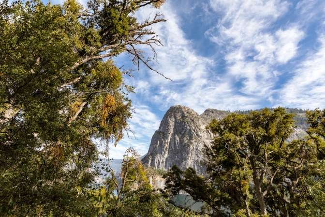
Yosemite's Tuolumne County has launched a new trail guide to help travellers navigate the great outdoors in northern California
Located 2.5 hours of the San Francisco Bay Area, Yosemite's Tuolumne County spans California's Gold Country, High Sierra and the lion's share of Yosemite National Park.
Covering an area of just over 1.45 million acres, it is known for its pristine, scenic vistas reaching into the foothills of the Sierra Nevada Mountains providing miles of trails for keen, and amateur hikers alike in the great outdoors.
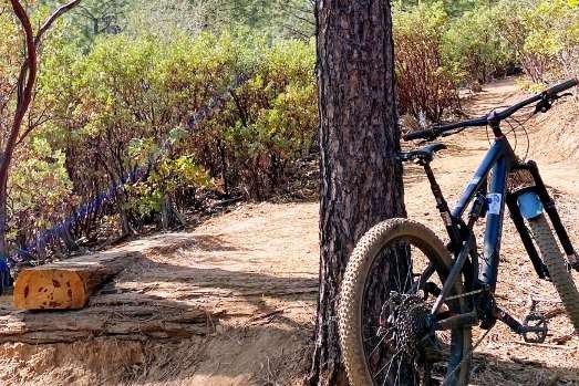
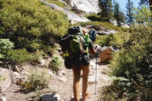
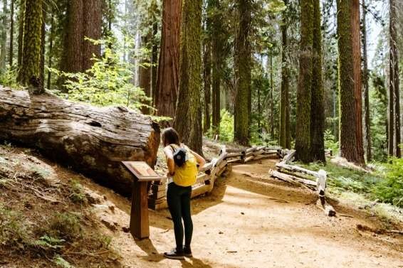
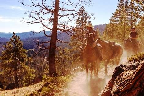
The new guide will help hikers, bikers and nature-lovers navigate the 100's of trails available across the county located on the edge of Yosemite National Park.
A dedicated website with an interactive map offers more trail options and a dedicated badge award system.
It includes a downloadable 'top 12' trail map from visittuolumne.com highlighting the suitability of the trail for hiking, biking or guided horse-trek, in addition to assessing difficulty and length.
Top trails include :
- Dragoon Gulch Trail in the Gold Country and the historic town of Sonora
- Pinecrest Lake Loop in Stanislaus National Forest in the High Sierra, and
- several in Yosemite National Park.
As outdoor enthusiasts complete the trails, a total of five levels of badges can be earned.
Following the launch of sustainability campaign Leave No Trace in 2019, hikers will be encouraged to stay on trails and leave no trace during their visit.
Useful links
Location (Map)
About the author
Contact info
![]()
ISSN 2634-7032
London, United Kingdom
+44 0 7764 198 286